Add places where they are
Your team adds places where they stand: pin it with GPS, take a photo and fill in the same fields used at the desk, on a phone or tablet. It goes straight into your content. Opens from a link, installs from the browser, no app store.
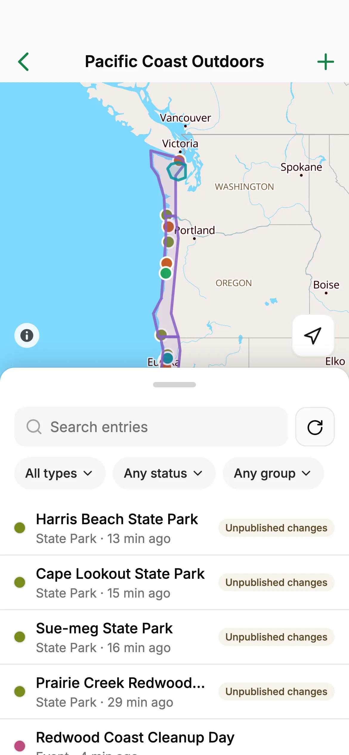
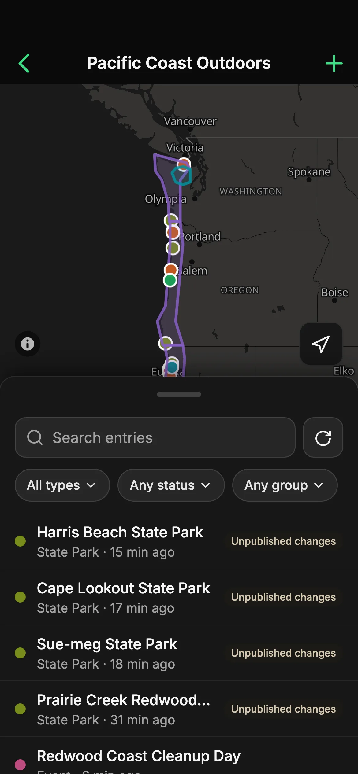
From the spot to your content in four steps
Collect turns a site visit into a finished entry: you add the place where you stand, and it saves as you go.
Step 1 Open the project
Scan the QR code from the project menu on your computer, or open the link on your phone or tablet.
Step 2 Tap + and pick a type
Each type brings its own fields, laid out for a thumb: choices as pills, dates in a picker.
Step 3 Pin the place
Use your location or tap the map. Draw lines and areas by tapping, or walk the boundary.
Step 4 Add photos and details
Take photos with the camera and fill in the fields. It saves as you go; mark it ready to publish when you’re done.
Made for field work, with nothing to roll out
Collect works from the content model you already have, so there is nothing to set up for the field.
Nothing to install
Send a link or show the QR code. It opens in the browser of any phone or tablet and goes on the Home Screen.
Nothing new to learn
The same types and fields as at the desk. No separate forms to build, nothing to export or import afterwards.
Pin it where you stand
Use GPS with its accuracy shown, or tap the map. Add points, lines and areas, or walk the boundary.
Photos from the camera
Snap a photo and it’s attached. Large photos shrink on the phone before upload, so they don’t eat your data.
Patchy signal is fine
If the connection drops, the entry you’re working on stays on the phone and saves when you’re back online.
Live when the office publishes
Mark a place ready on the phone. When someone publishes the project, it’s on your website, app or map through the Content Delivery API.
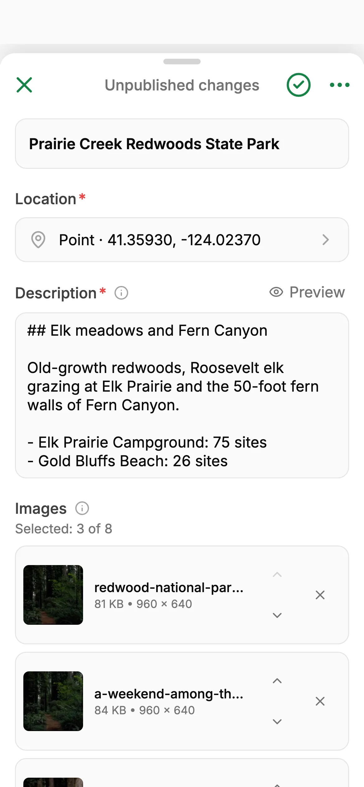
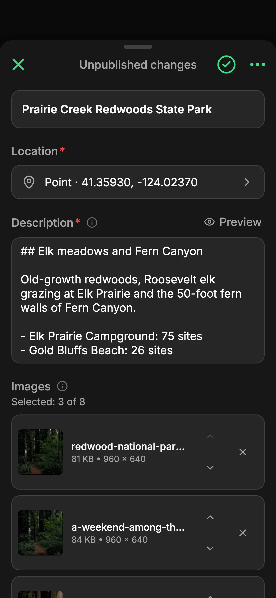
The same fields as the desk
An entry in Collect is the entry your team edits on the computer, laid out for a phone or tablet. What you add shows up in the full app at once.
- A red star marks what’s needed before publishing
- Link entries to each other, like a park to its region
- Who changed what, in each entry’s history
Nothing you add gets lost
Signal drops, pages reload, a colleague edits the same place. Collect holds on to every change until it’s saved, and asks before anything is dropped.
- Kept on the phoneWhen the signal drops, the entry you’re working on stays on the phone and saves as soon as you’re back online.
- Back where you left offIf the page reloads, say when the camera takes over, Collect offers to restore your unsaved changes.
- No silent overwritesIf someone changed the same entry meanwhile, Collect asks whether to keep your version or theirs.
Where Collect replaces QField and form apps
Collect replaces a field app when the data is headed for a website, an app or a published map, not for a GIS project. If your places end up in a project anyway, adding them there directly removes every step in between.
| Question | Spatibase Collect | QField | Form apps (Survey123, KoboToolbox) |
|---|---|---|---|
| On the phone or tablet | Opens in the browser; add it to the Home Screen | A native app (Android, iOS, Windows, macOS, Linux) | A field app, or a web form in the browser |
| Before the first visit | Nothing extra: it uses the types and fields you already have | Build a QGIS project, package it with the QFieldSync plugin | Design a separate form (Survey123: an ArcGIS organization is required) |
| Data to and from the device | Every save goes straight into the project | Sync with QFieldCloud, or copy by cable and sync back | Submissions upload to that tool’s server |
| Where the data ends up | Your content, published through the Content Delivery API | Your QGIS project | ArcGIS feature layers or the Kobo server; export (CSV, XLS, GeoJSON) to move it |
| Without any signal | Needs a connection to open; rides out dropouts | Works online or offline | The field apps keep working while disconnected |
Choose Collect when
- The places feed a website, an app or a public map
- Editors who have never opened a GIS do the field work
- You don’t want a separate form or project to build and keep in step
- There is signal where you work, even if it’s weak
Choose QField or a form app when
- You survey for days with no signal at all
- You need GIS editing: layers, snapping, coordinate systems
- The result belongs in QGIS or ArcGIS, not on a website
- You run questionnaires with many respondents
Both can work together: add the published GeoJSON or vector tiles as a layer in QGIS or ArcGIS.
Questions about Collect
Does Collect work offline?
Partly. Collect needs a connection to open. While you edit, it keeps your changes on the phone and saves them when the connection is back, so a dropout doesn’t lose work. It can’t download a project for use with no signal at all.
Does it work on iPhone and Android?
Yes. Collect runs in the phone’s browser, so it works on iPhone, Android and tablets. To add it to the Home Screen on an iPhone, Add shows the steps for the browser you’re using: Safari, Chrome, Edge or Firefox.
How do people install it?
Send them the link, or show the QR code from the project menu on your computer. On the Projects screen, Add puts Collect on the Home Screen: Android shows the browser’s install dialog, iPhone shows three short steps. No app store and no device management needed.
What does Collect cost?
Nothing extra. Collect is part of the app: anyone with access to a project can open it on their phone or tablet. People who add or change entries need an editor seat, as on the computer; developers are included with no seat charge.
Who can add entries in Collect?
The same people as in the full app. Owners and editors add and change entries and mark them ready to publish; developers see entries but can’t change them.
Does Collect replace QField?
When the data is meant for a website, an app or a published map, yes: there is no QGIS project to package, no app to install and nothing to sync or import afterwards. For multi-day surveys without signal or for GIS editing with layers, snapping and coordinate systems, QField is the better tool.
Build the map once. Your client keeps it up to date
Start free, or talk to us about your organization.